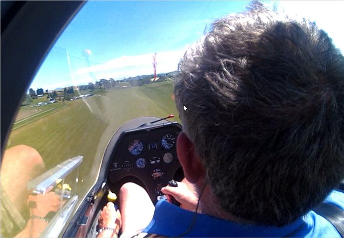
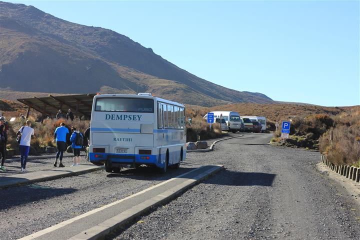
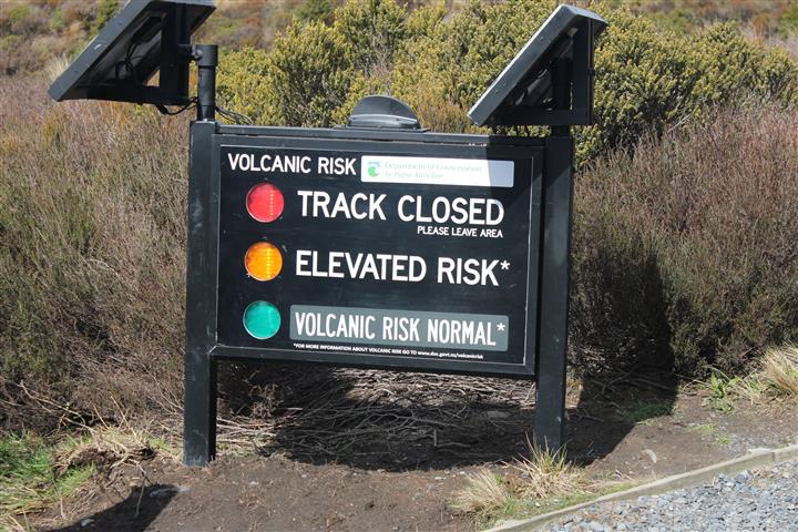
The Tongario crossing is a 19km walk going between the two mountains of Tongariro and Ngauruhoe, then dropping off the N side of Tongariro down to the road at Ketetahi. It’s billed at the thing to do in the Tongariro park, and, naturally enough has considerable support in terms of bus shuttles from one end to the other. It’s quite a high walk, going up to 1,900 metres and the conditions can get fairly nasty if the weather turns.
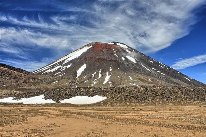
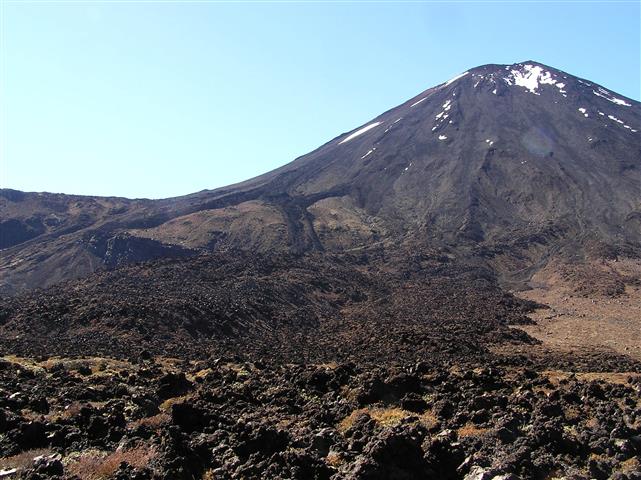
Mt Ngaurahoe:

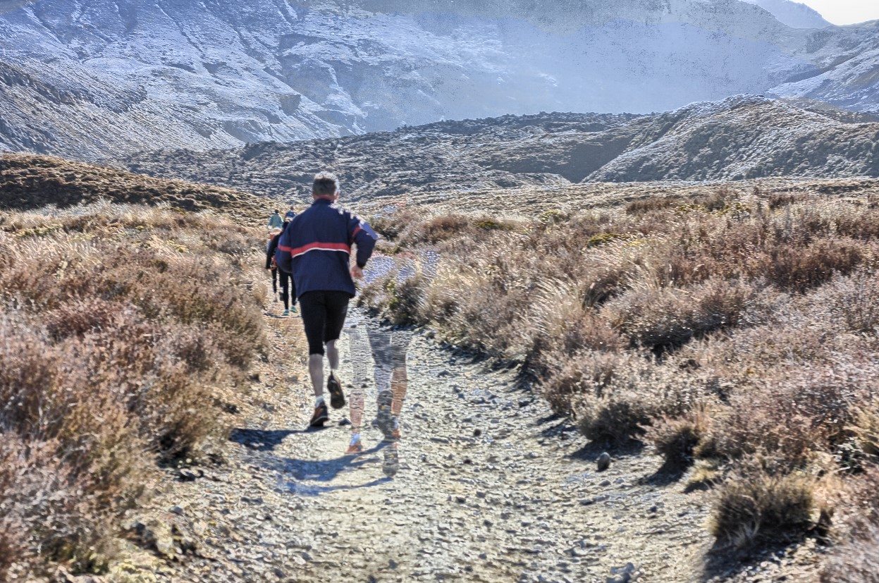
We had a look at the route and decided that doing the whole thing wasn’t such a good idea, since the second half was basically a long walk down a steep mountain. Accordingly we decided to do the first half, which involved walking up to the crater area and coming back the same way. That meant we could go at our own pace, had more time in the craters, and weren’t dependent on picking up a bus.
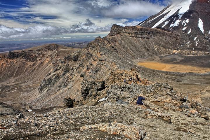
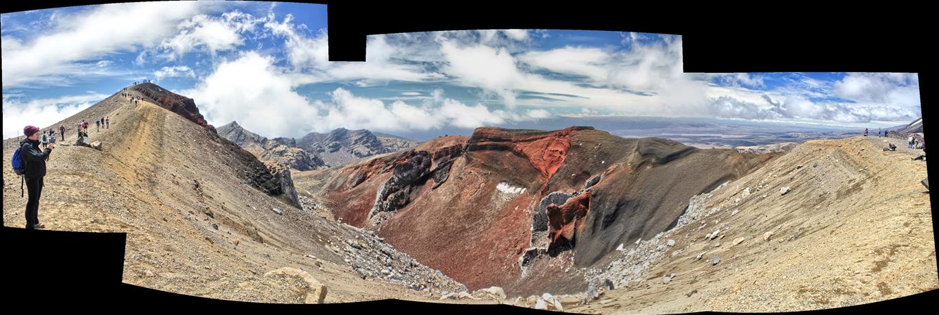
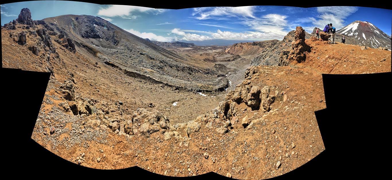
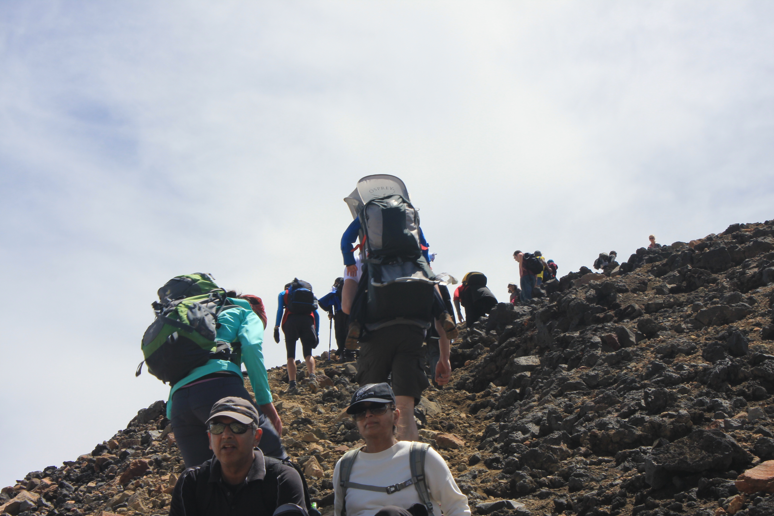
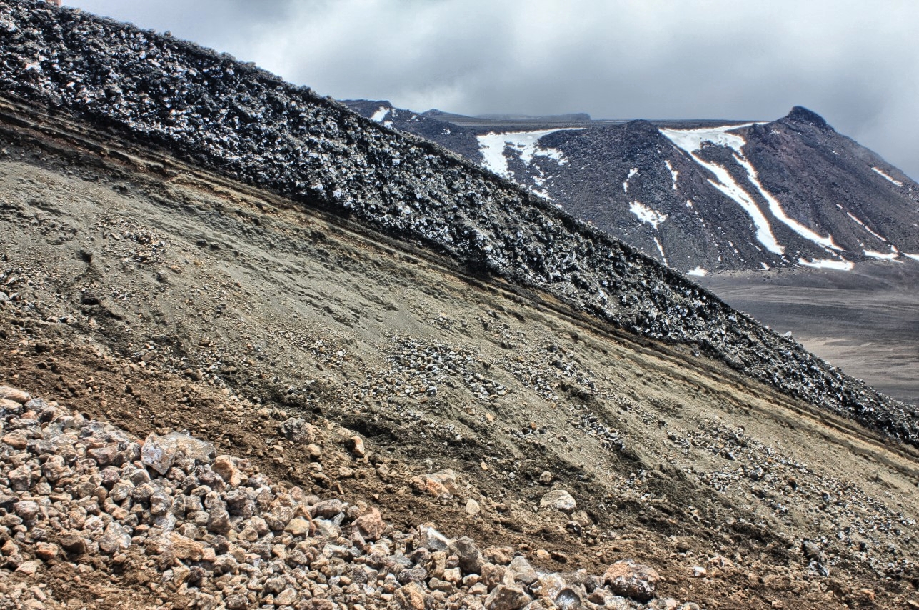
This picture shows the track up to Mt Ngaurahoe, from the carpark at the base of the cinder cone in the L middle of the picture
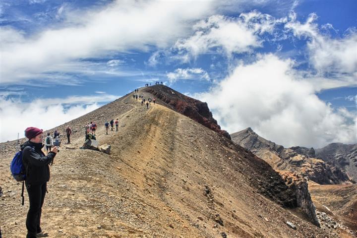
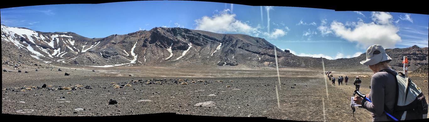
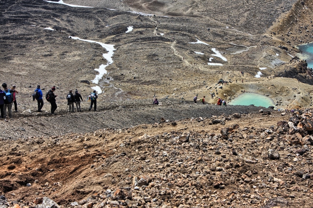
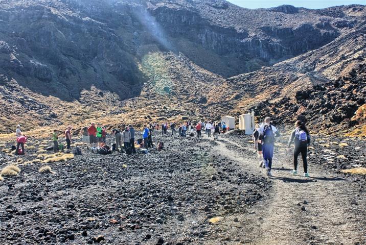
Turned out this was the right thing to do. Since this was the first day in a week or so that the weather was good, there were hundreds (literally) of people doing the walk. The track was pretty good, well maintained as you might expect but it needed to be, since for most of the way up we were walking in bunches of people – queueing to get up the steps, standing aside for the fast ones (and I have to admit we were doing a quite a bit of standing aside).
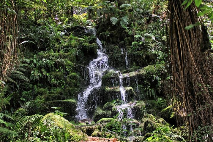
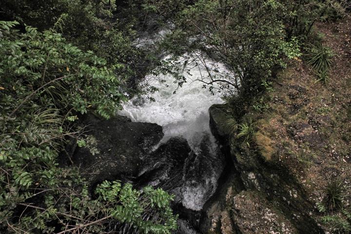
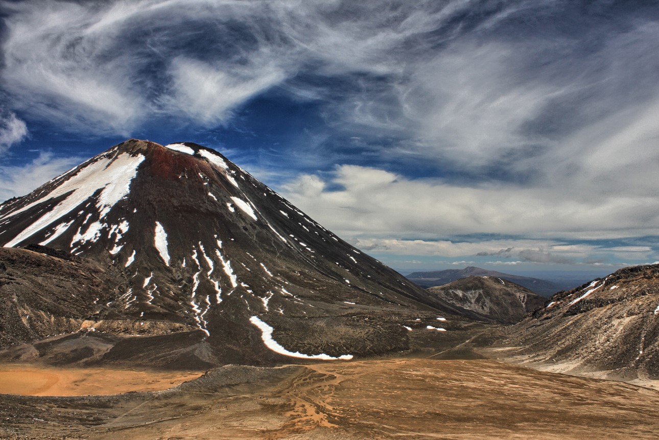
At the very top we had lunch while the crowd kept going, and on the way back we pretty well had the place to ourselves, which was good. Despite the crowds the mountains were vast and impressive, and we could forget about the people around us and marvel at the scenery.
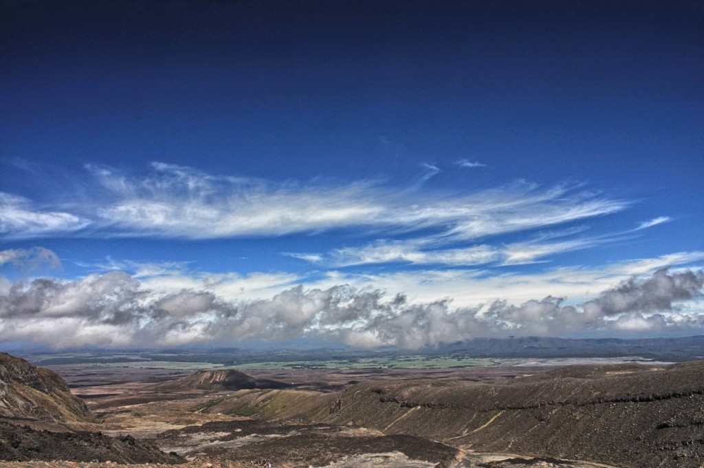
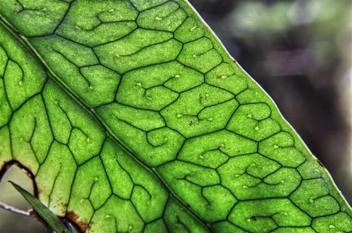
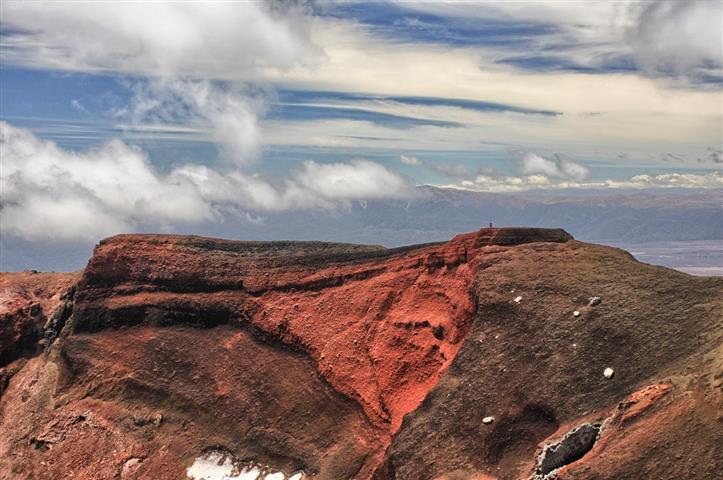
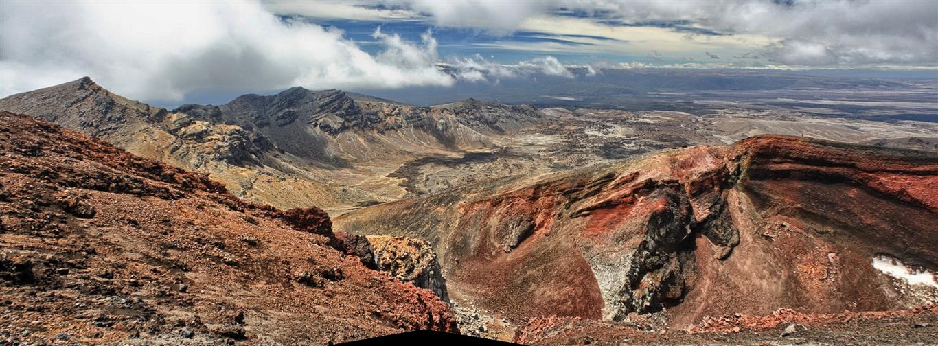
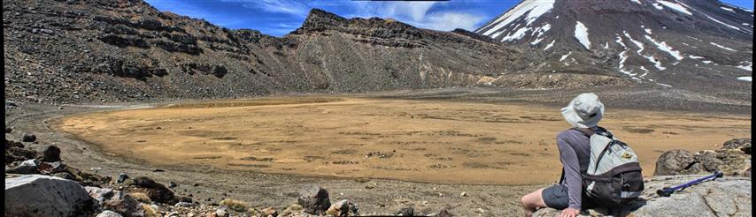
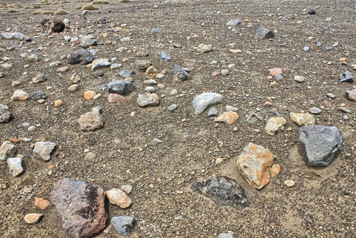
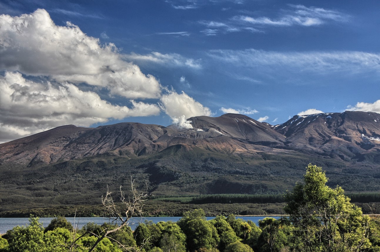
I found that the immense size of everything put the meaning of volcanic activity into perspective and gave it the scale I hadn’t hitherto appreciated. Reading about volcanoes is all very well, and they are easy enough to understand, but seeing them is something else. To see huge mountains simply blown apart by the forces of the earth brings home the reality of vulcanism. And seeing the mountains giving off smoke – as this view of the back of Tongariro shows – emphasises that it could all still happen:

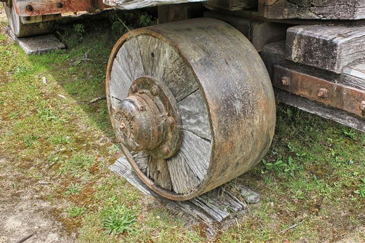
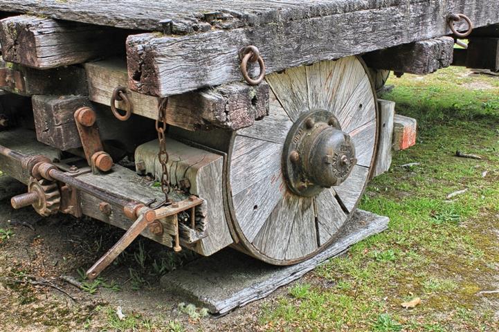
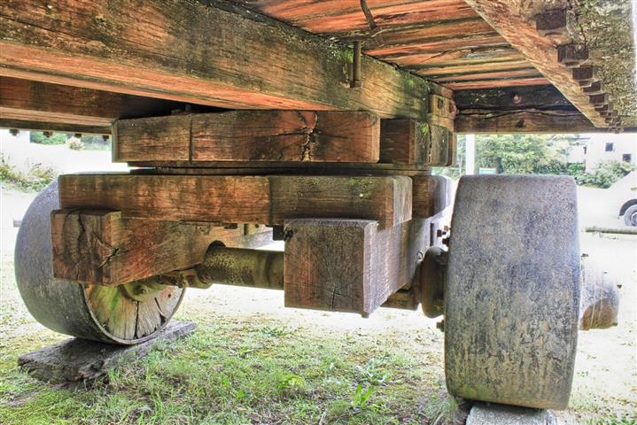
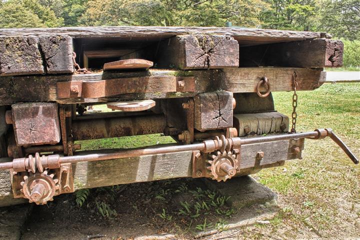
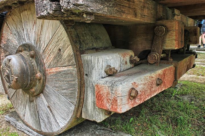
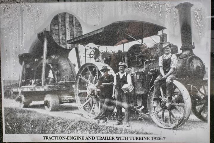
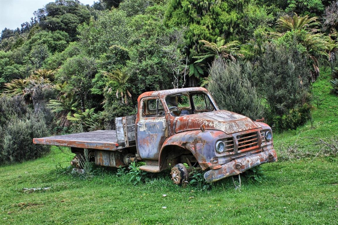
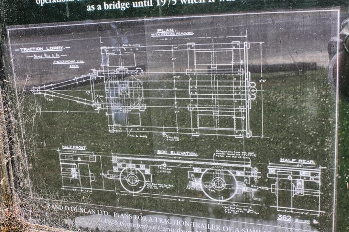 Came across this gem by the road. Shows what you can do with steel plate and timber. There is no welding here – all the parts are cast or cut steel fitted together in symbiosis with the timber to perform a single purpose: moving something very heavt. We don’t see this sort of engineering anymore, timber no longer being used in this way. But it’s nice to see what could be done, and to appreciate a design that worked.
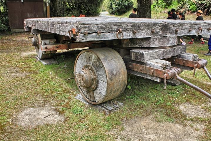


